Archives
Enter a word or phrase to perform a general search across all records in the Archives catalog. You can also browse records in the catalog without performing a search.
Search Tips
- Searches are not case sensitive.
- Searching for multiple words connects them with OR by default. Matching records can contain any of the words.
- Connect multiple words with AND if you only want to see records containing both words.
- Use quotation marks to search for a phrase.
- Place an asterisk (*) at the end of a word as a wildcard.
400 results found. Records searched: 400
-
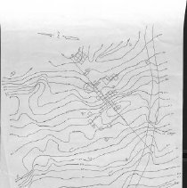
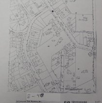
MAP.E-041 - Carbondale Mining District, Somersville Area, Hotel Site
Shows elevaton lines. Draftsman George C. Collier, June 22, 1979
Record Type: Archive
-
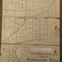
MAP.E-042-1 - Putnam Realty Co's Map of Floraland Tract, Walnuit Creek
Floraland Tract lot, No's and acreage.
Record Type: Archive
-
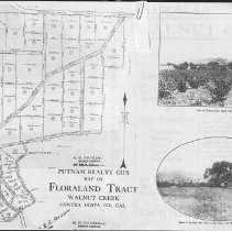
MAP.E-042-2 - Putnam Realty Co's Map of Floraland Tract, Walnut creek
Real Estate brochure including map (E-042-1) plus photos and description of property
Record Type: Archive
-
MAP.E-043 - Plan and profile of San Luis Ave and San Pablo Ave.
San Luis Ave and San Pablo Ave., between Humboldt Ave and Central Ave. shows some property lines and plan and profile grades for top of rail and curbs.
Record Type: Archive
-
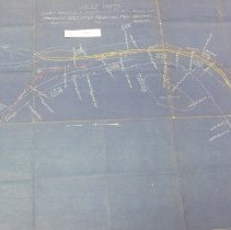
MAP.E-044 - Valle Vista San Francisco-Sacramento Railroad Co. Proposed spur to serve rock quarry.
Record Type: Archive
-
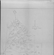
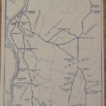
MAP.E-045 - Rancho San Miguel, 1894.
Hand drawn map of Rancho San Miguel 1894. 2 copies
Record Type: Archive
-
-
-
-
-
-
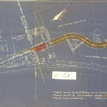
MAP.E-051 - El Ciervo (Tormey): map showing land required for highway purposes across property.
Record Type: Archive
-
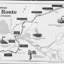
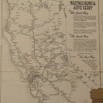
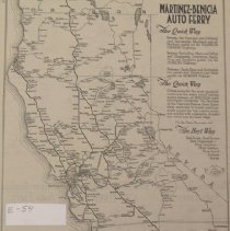
MAP.E-052 - SIX MINUTE FERRY CO. TIME TABLE, FEBRUARY 1, 1921. Automobile mileage from Six Minute Ferry.
Record Type: Archive
-
-
-
-
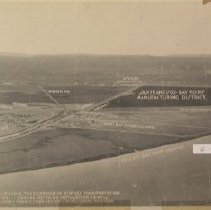
MAP.E-056 - Bay Point, Contra Costa County, CA: The Centroid of Perfect Transportation Projection: Bay Point, Suisun Bay Deep Channel
map superposed over oblique aerial photo
Record Type: Archive
-
-
-
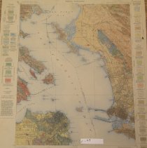
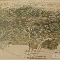
MAP.E-059 - Striped bass & catfish map: [San Francisco Bay Area] projection: Contra Costa County
Record Type: Archive
![Striped bass & catfish map: [San Francisco Bay Area]
projection: Contra Costa County](https://s3.amazonaws.com/pastperfectonline/images/museum_1332/003/thumbs/mape059.jpg)